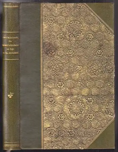
Philadelphia, Lippincott Grambo & Co. 1852. gr.-4°. 2 Bll., 27 Stahlstich-Taf. (numeriert 1-15) und 21 Karten (davon 18 kolor. u. mehrf. gefalt.). Komplett. OLn. Mit Blind- u. Goldpräg.
Bestell-Nr: 1772-20
Bemerkungen: Sabin I, 58009 - Kollation der Tafeln: 1, 1a-d, II, 2a-b, 3, 3a, 4, 5, 5a,-b, 6, 7, 8, 8a, 9, 10, 11, 12, 12a-b, 13, 14, 15. Bei Sabin ist von 15 Taf. u. 21 Karten die Rede. Die Taf. in Stahlstich tlw. nach Daguerotypien. Unter den Karten 1 große kolor. Karte: Geological Map of Wisconsin, Iowa, and Minnesota im Format 112 x 70 cm. - Complete set. - David Dale Owen conducted the first geological surveys of Indiana, Kentucky, and Arkansas. He was appointed the first Geologist for the State of Indiana (1837-39), and worked as the State Geologist of Kentucky in 1854-1857; he was appointed State Geologist of Arkansas in 1857, continuing as the Kentucky geologist without pay. He returned to Indiana as State Geologist in 1859-1860. - Of particular note is a well-preserved color fold-out map entitled "Geological Map of the North Shore of Lake Superior".
Schlagworte: Naturwissenschaften, Geologie, Amerika
EUR 507,79 (inkl. MwSt.)Artikel eingestellt mit dem w+h GmbH eBay-Service
Daten und Bilder powered by Buchfreund (2024-12-06)
| Gewicht in g | Homezone | Zone 1 | Zone 2 | Zone 3 |
|---|---|---|---|---|
| bis 500 | 4,00 € | 7,00 € | 8,00 € | 8,00 € |
| darüber | 8,00 € | 9,00 € | 10,00 € | 10,00 € |
| Versandkostenfrei ab Bestellwert in € |
500,00 € |
Die Lieferung der bestellten Waren erfolgte zur vollsten Zufriedenheit.
alles bestens!
Die Lieferung der bestellten Bücher erfolgte zur vollsten Zufriedenheit.
Für weitere Infos zu Angeboten dieser Art wäre ich dankbar. MfG E.S.
hat perfekt funktioniert. Lieferung war schnell und unproblematisch. :-)
Die online Präsentation des Buches war etwas unübersichtlich
gerne wieder
