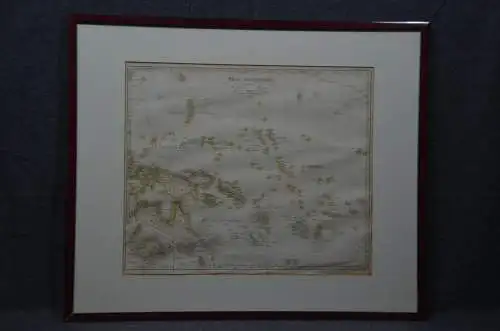
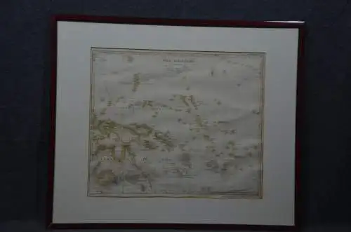
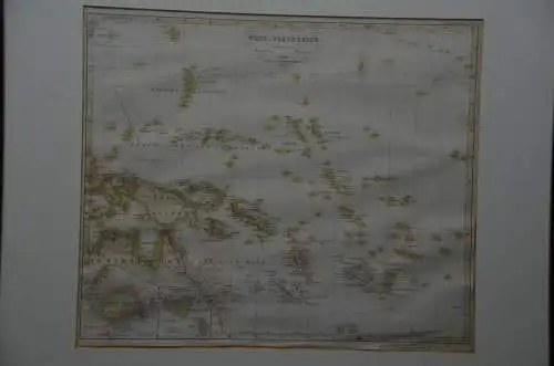
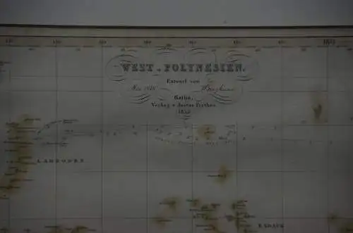
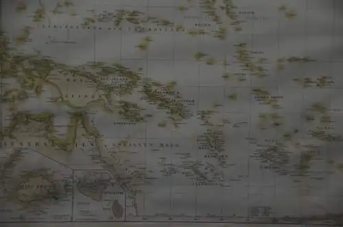
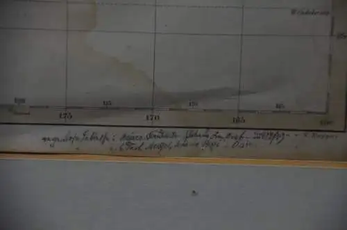
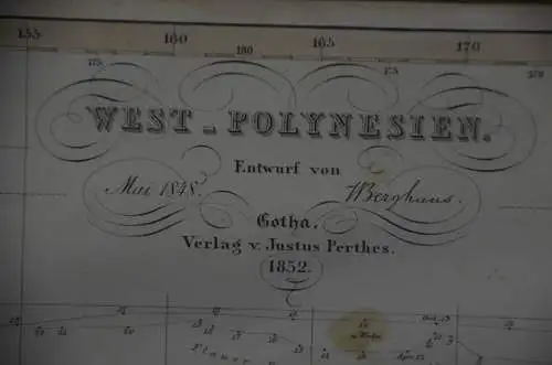
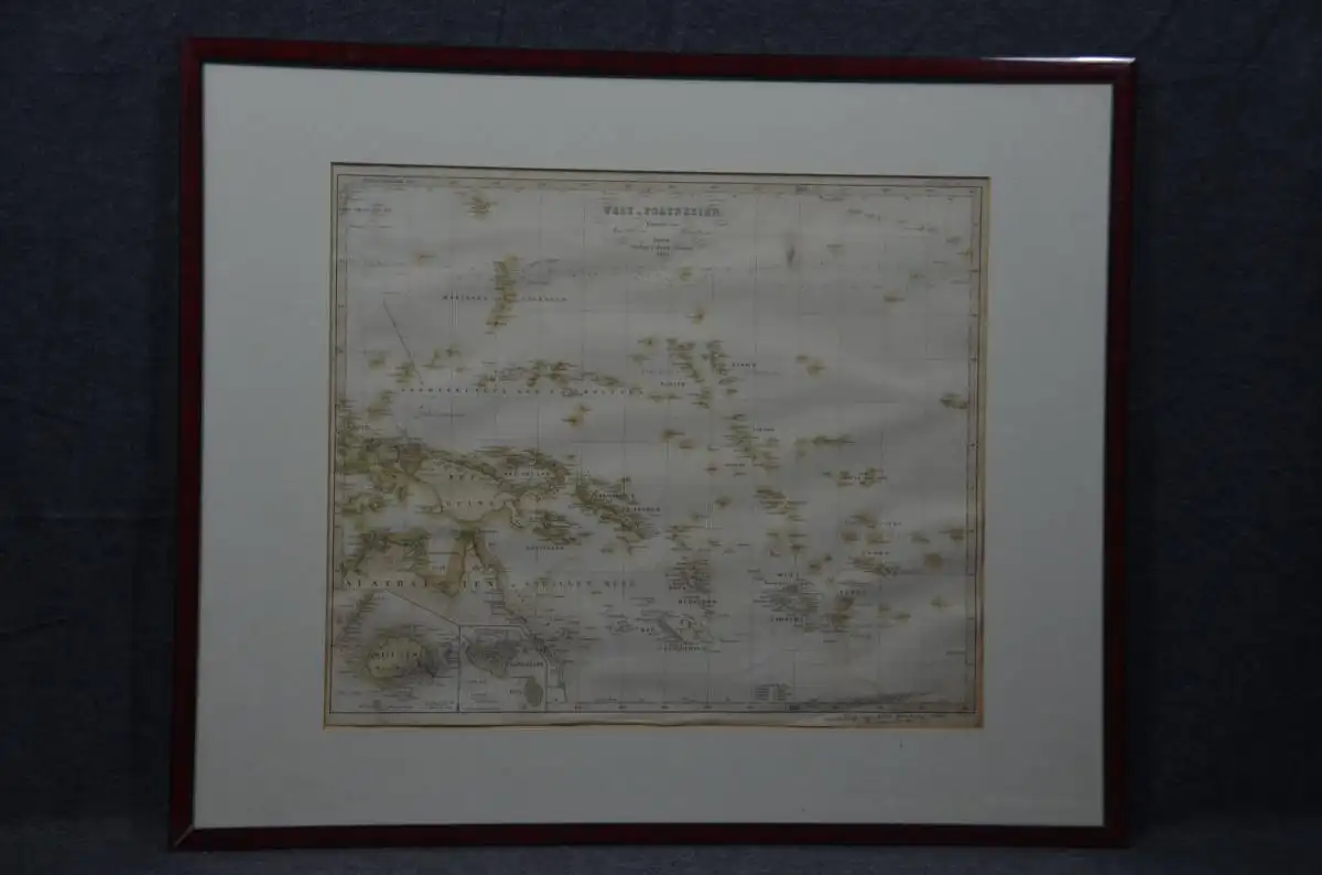
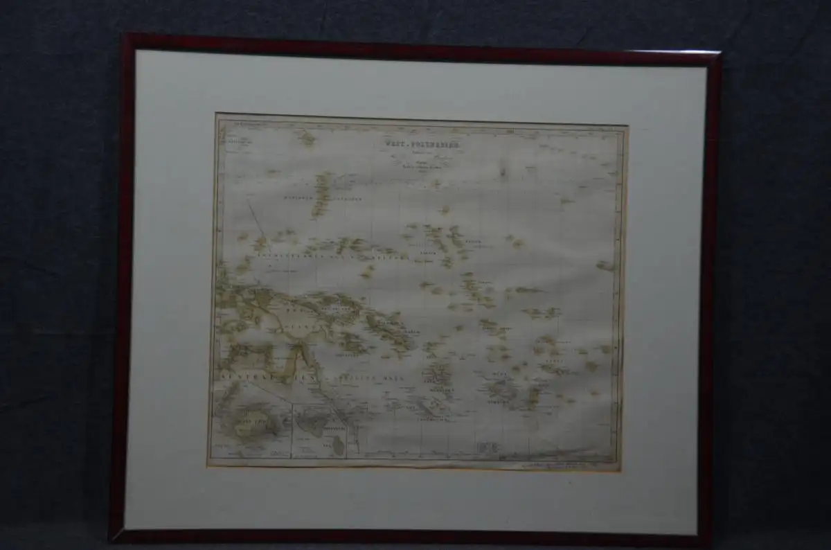
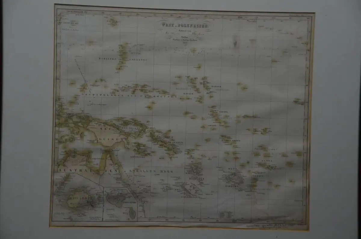
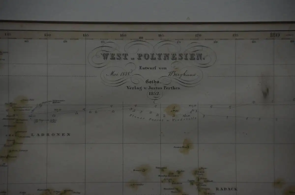
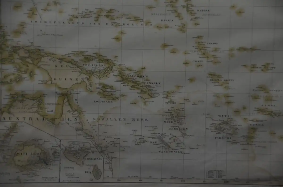
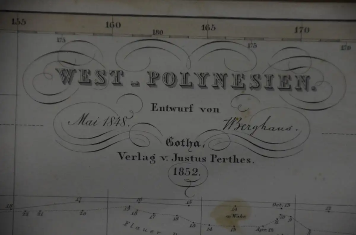
Wir versenden unsere Artikel weiterhin Falls Sie Fragen bzgl. des Versands haben, nehmen Sie bitte Kontakt zu uns auf. HIER Landkarte Polynesien, Kupferstich koloriert, Perthes 1852ca. 60 x 51 cm Justus Perthes (1749 - 1812) was one of the most important German cartographic engravers of the 19th century. Perthes began his publishing empire with the 1784 issue of the famed survey of European nobility known as the Almanac de Gotha . In 1817 Perthes switched his focus to cartographic publishing. From 1817 to 1890 the Perthes firm would issue thousands of maps for more than 20 different atlases. Along with the visionary editors Stieler, Peterman, Meyer and Spruner, the Perthes firm pioneered the Hand Atlas. He also produced a number of important wall maps and case maps. Perthes maps are admired for their steel plate engraving, incredible detail, dedication to accuracy, and fine colorization. The Justus Perthes firm continues to produce maps and atlases to this day.